Brentford to Southall ‘“Golden Mile’” Surveys
The project
Network Rail is developing a scheme to create connectivity for a passenger service between the existing Southall Station and a proposed station called Brentford Golden Mile. The London Borough of Hounslow has ambitious regeneration plans for the historic ‘Golden Mile’ employment corridor in Brentford, which is occupied by GlaxoSmithKline’s global HQ, BskyB’s media campus, and other employers. Around 20,000 people are employed along this stretch.
The majority of employees rely on public transport, but the lack of a local rail station severely restricts the area’s ability to attract future business. As such, Network Rail was commissioned to complete GRIP 3 Option Selection, with Enable Design (formerly known as Equate Design) supporting them by providing surveys.
The challenge
The main challenges on this project were:
- Track access planning
- Coordinating multi-discipline surveys across multiple lines using a ‘line block’ strategy
- Interfaces with third-party landowners
The solution
Enable Design successfully delivered this scheme by working closely with the client to adopt suitable track access and communication strategies that allowed the required surveys to be planned and delivered successfully.
The Team
- Engineering Manager
- Design Manager
- Project Manager
- Survey Engineers
- Civil Engineers
- Surveyors
The deliverables
- UXO and Buried Services: Enable Design conducted a full services search, including all pipeline and utilities in the survey area. This included high-density areas of Southall Station, including platforms, track and public station areas. An Unexploded Ordnance survey of the area showed its bombing history and enabled us to assess the associated risks.
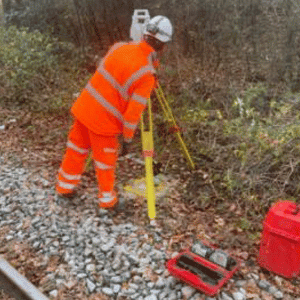
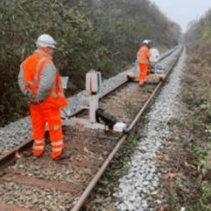
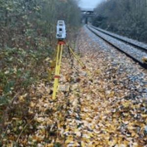
- Topographical Survey and Laser Scan: Enable Design validated and updated the survey control points. We completed a topographical and laser scan survey for the full route using highly accurate scanning technology. We then used this data to create a 3D model of the route, including all layers for vegetation, surface and objects. The topographical survey was highly detailed and captured the general site layouts, structures (including platforms, buildings, footbridges & canopies), column positions, beam positions, retaining walls, lighting columns and boundary fencing, thus depicting the intricacies of the railway.
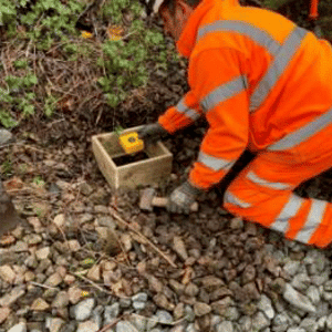
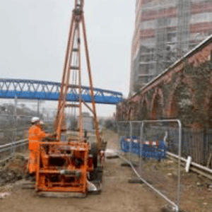
- Ground Investigation: Enable Design took borehole and windowless samples at various locations in both the rail and highway environment to understand the ground conditions. The investigation covered ground contamination, stratum of ground, stability of ground type and ground water levels. We sent the samples to a laboratory for testing, following which a factual ground investigation report was produced.
- Ecological Survey: Enable Design undertook a site survey of the full route to identify any ecological constraints, as well as undertaking a Preliminary Ecological Appraisal and providing a report to determine how to avoid/manage these.
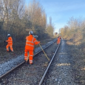
- Vegetation Management: This both allowed access to the works and enabled us to accurately complete the required surveys inline with the findings of the ecological survey.
- Tag and Trace Survey: We tagged and traced all cables in the survey area back to their sources, including signalling, power, and telecoms cables.
Gallery
Find out how we can help you
If we can help you in any way, please do get in touch. In order that we can assist you efficiently, please click on the link below. Alternatively, you can call us on 020 4566 9616.
Get in Touch
